Tongariro Alpine Crossing

Today would be one of the highlights of the entire trip -  "the greatest one-day tramp in the world"  -- the New Zealand Tongariro Alpine Crossing.

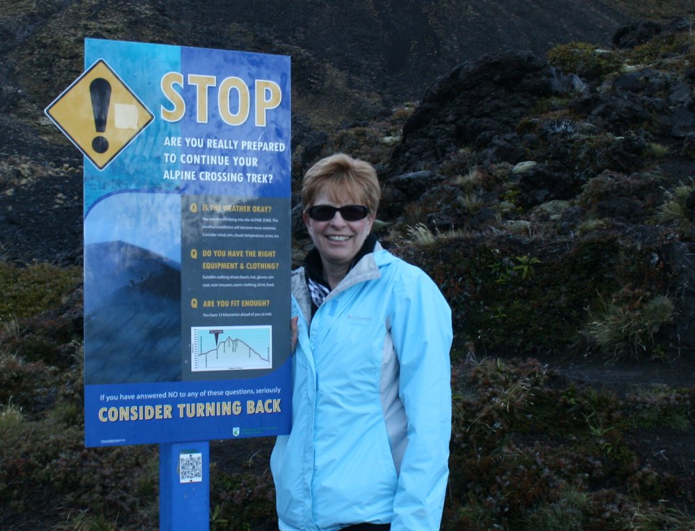
Last night, we had driven down here from Auckland to our lodging at the Discovery Inn.   It was a five minute drive to the place where we had to be at 7AM to catch the shuttle bus.   The shuttle bus takes you to the trail head, then picks you up in the afternoon on the other side of the mountain.

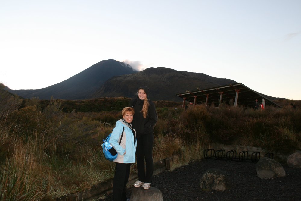
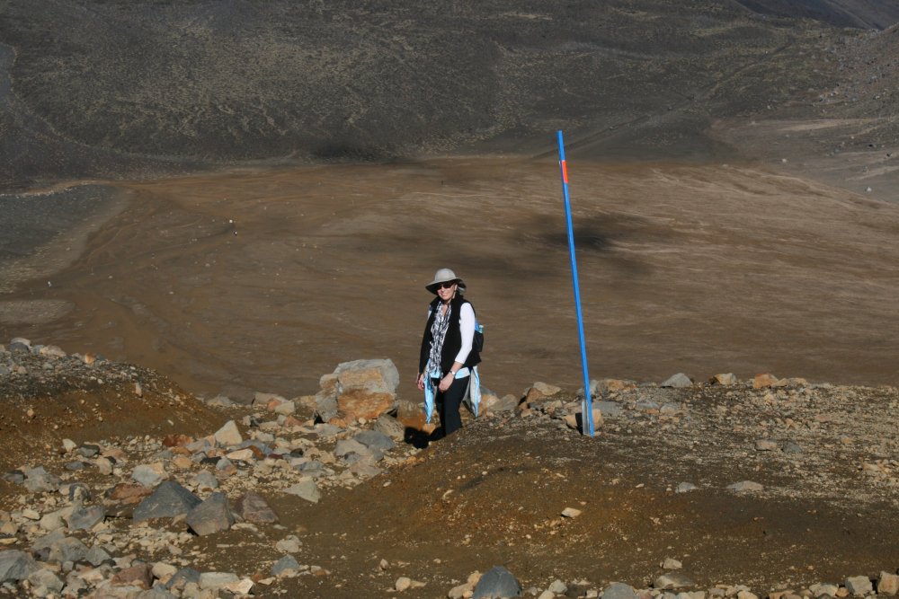
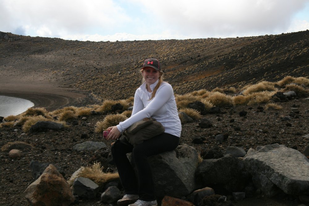
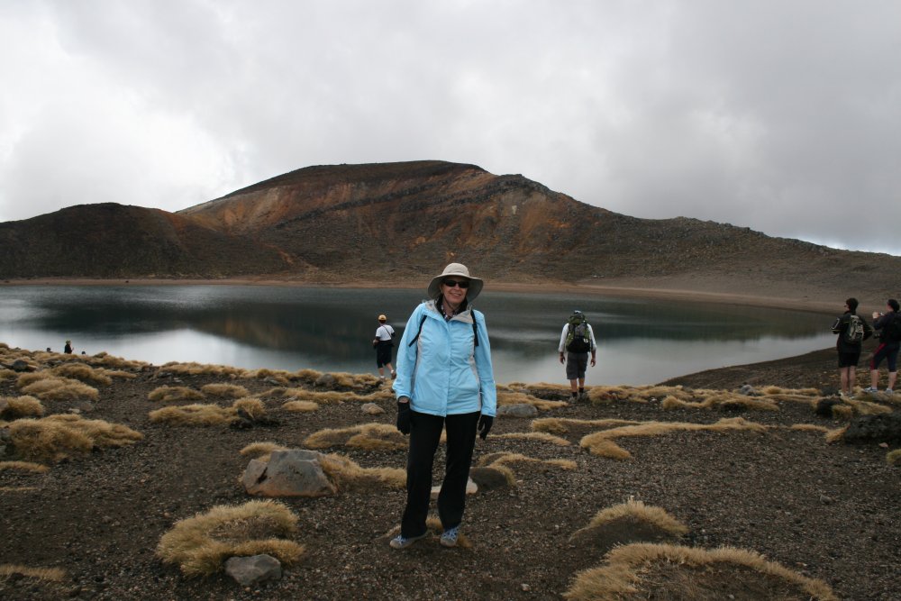
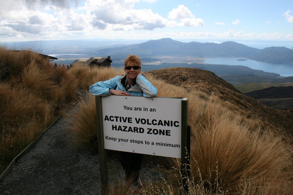
Lynnette and Maggie at the trail head.  It was a little cool in the morning but really, the weather could not have been better for the day.  We had sun all day and visibility was unlimited.


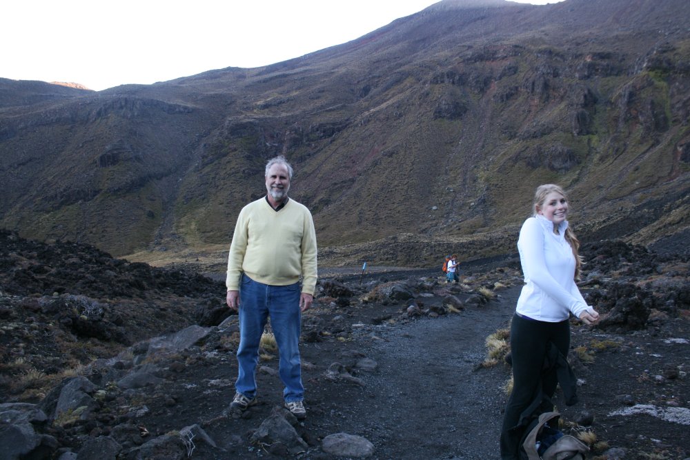
This was no trivial hike.  From the start, I was a little concerned that we could make it.  So Lynnette and I had done a couple of six mile practice hikes before the trip.  I figured we would just have to rise to the occasion.  Maggie?  She is young and has been working out so I didn't worry about her.
 
19.4 kilometers is equivalent to 12 miles.
   
Here we go!
   
The first 1/10 of the trail was a gradual climb that wasn't too bad; good for warming up.
   
The bright early morning sun lit everything up.
   
Yeah!  Let's go for it!
   
The trail started climbing in earnest.  Soon we were peeling layers of clothing off.  Conversation ceased as we concentrated on the task at hand.  Must ... keep ... going....


Lynnette working hard on the steep climb.
   
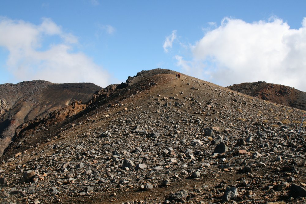
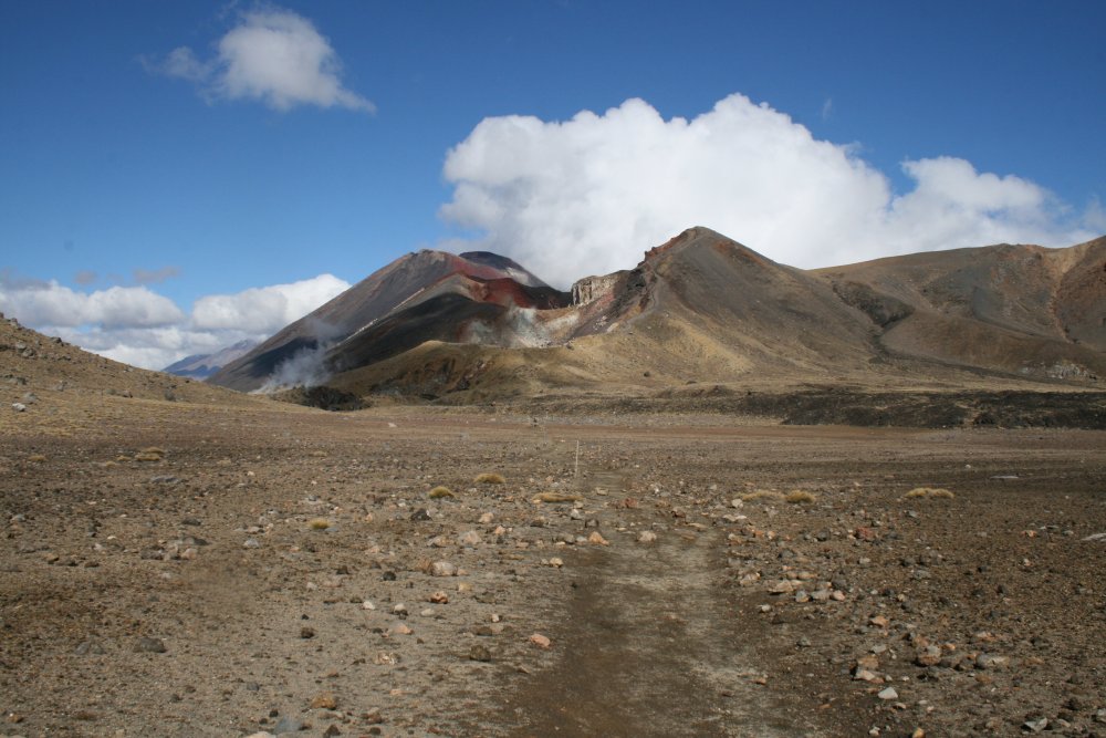
We climbed a good vertical amount in a short distance.
   
We had climbed about 2,000 feet from trail head by this point.
   
A good look at Mount Ngauruhoe which dominated the first half of the hike.   The trail went between Ngauruhoe to the south and Mount Tongariro to the north.  Climbing Ngauruhoe is an option.  To do it, you would leave the trail at this point.  But you had better be quick because you have to get it done and still make it to one of the trail heads before dark.  We never even considered it!  Looking at the spectacular view is good enough for me.
   
A close up of Ngauruhoe.  Those little white dots are people climbing the mountain.  It's very steep.  It gave me the willies just thinking about it.
   
At the South Crater.  Most of the hard climbing was behind us now.  This was a good rest stop.  The Discovery Lodge had made us bag lunches which contained lots of good things to eat.   We still had a long ways to go though:  11.3 km which is 7 miles.


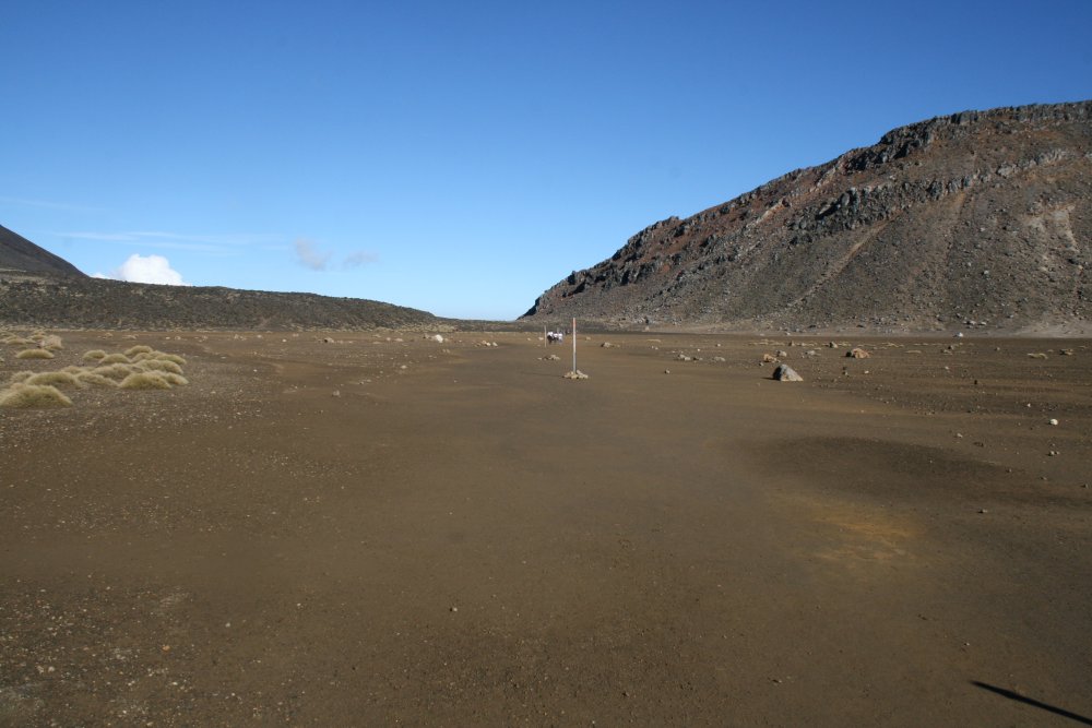
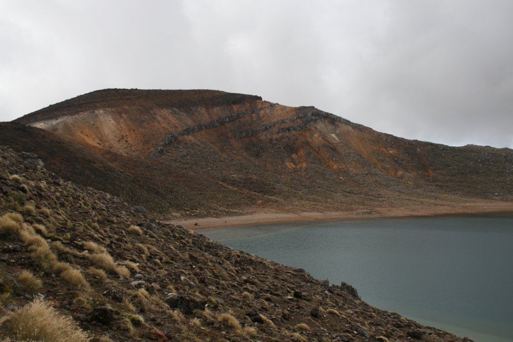
This was the south crater.  Very flat.  Flat is good.
   
Looking back at the south crater.  You can really see how we passed through a saddle between the two mountains (volcanoes).
   
The views were just stunning everywhere you looked.


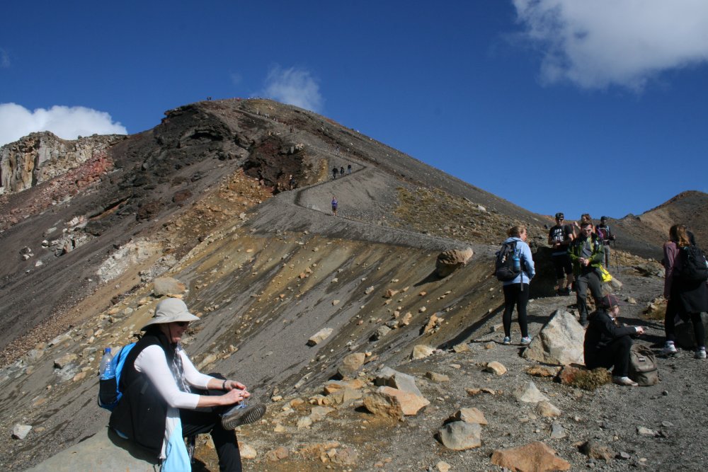
We celebrated too soon.  The climbing was not quite over.
   
Lynnette enjoying the climb.  Actually, we were almost over the hump.
   
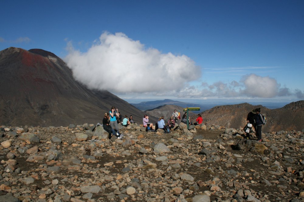
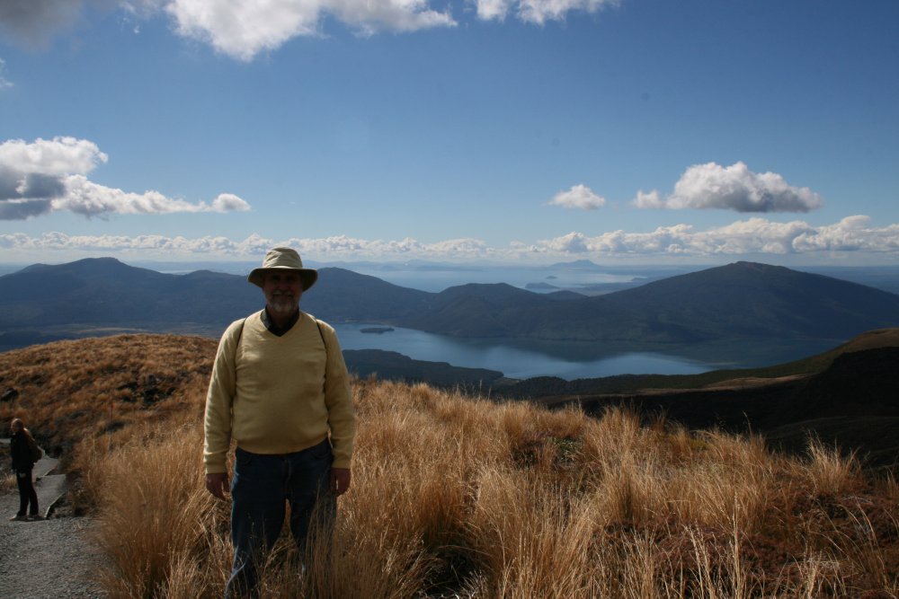
Starting to see some clouds.   Quite a few hikers were out today.  Most of them passed us.


 Huffing and puffing.
   
This last short climb would be it and from then on it was downhill.
   
At the top with the Red Crater in the background.
   
We got a laugh out of the Volcano warnings.


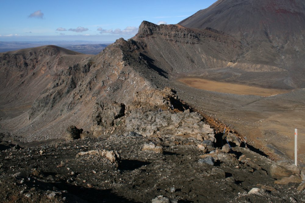
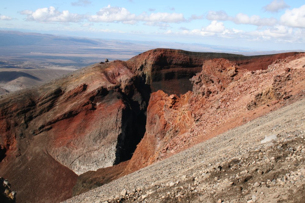
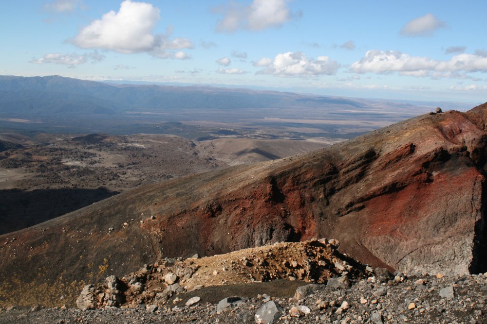
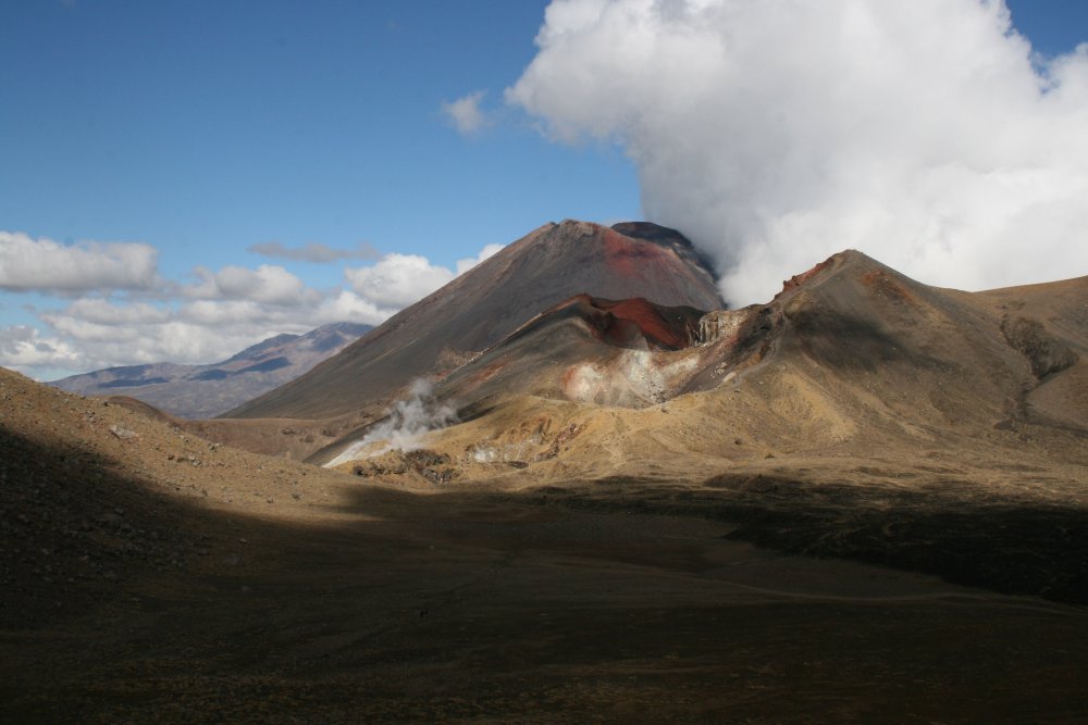
A look back at Red Crater
   
Looking forward, we start heading downhill to the Emerald Lakes.
   
The view to the right.
   
Looking back at Lynnette who is happy to be descending instead of ascending.
   
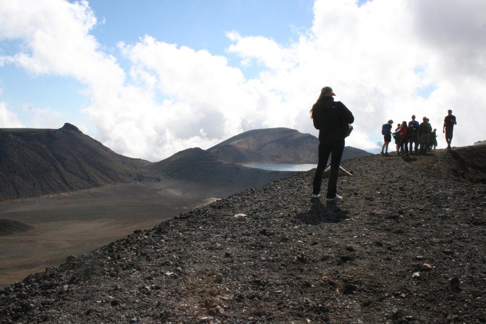
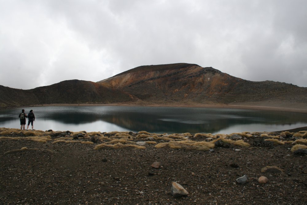
It's easy to see why they are called Emerald Lakes.


Looking back again.


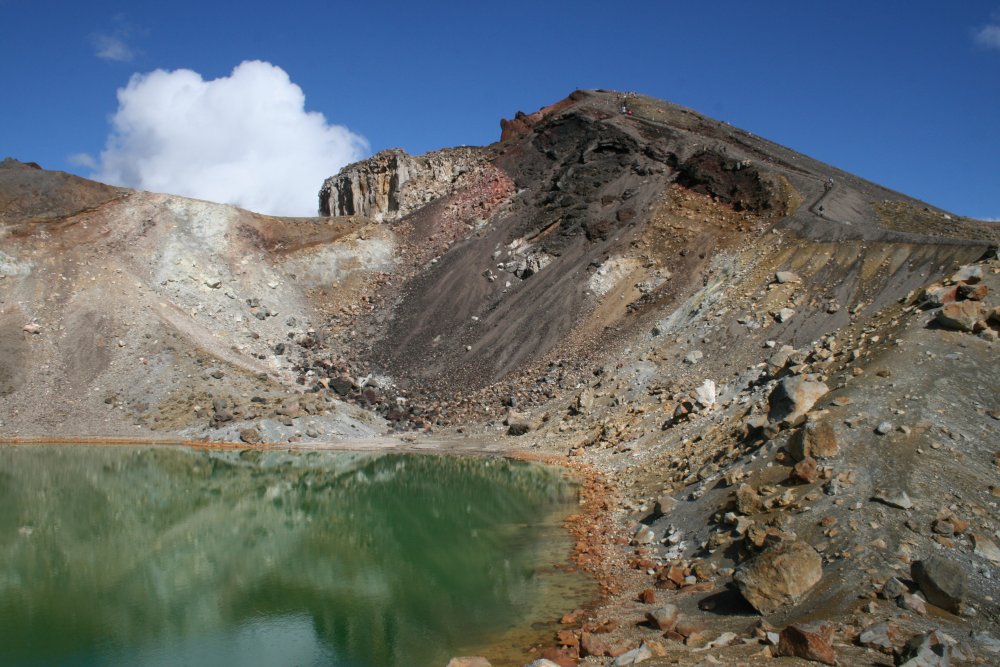
One final look at Red Crater.
   
This is called Central Crater.


A good shot of both Mount Ngauruhoe and Red Crater.


Blue Lake.


Still passing Blue Lake.
   
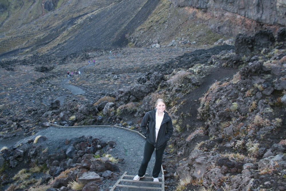
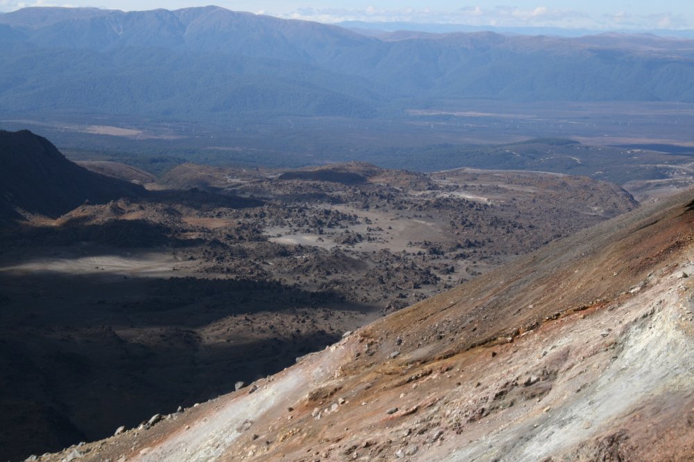
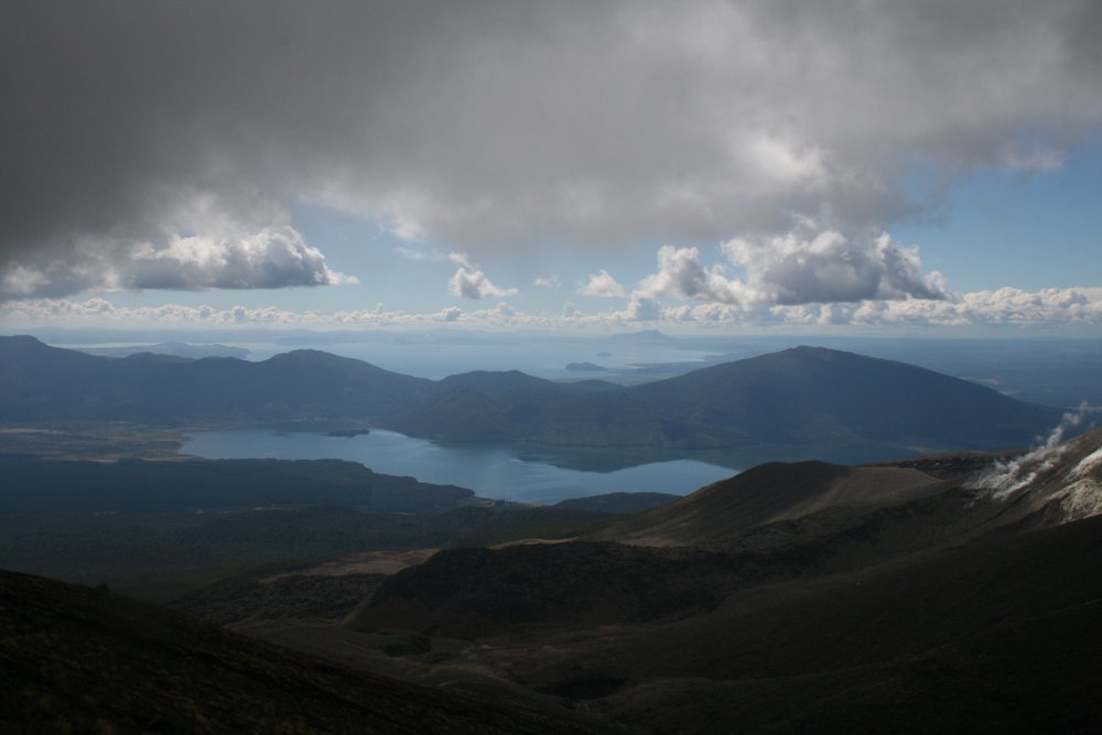
Looking down at Central Crater.
   
We have passed through the saddle and are now transversing the side of Mount Tongariro.
   
We came upon this view and were surprised by how high we still were.   That's Lake Rotoaira in the foreground and the mammoth Lake Taupo in the distance.
   
 
Having survived the climbing, we were somewhat dismayed to see all the switchbacks ahead of us.  Lots more hiking to do.  I wasn't tired, but my feet were killing me at this point.
   
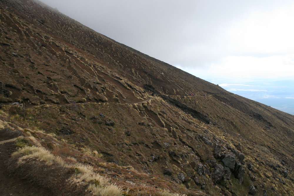
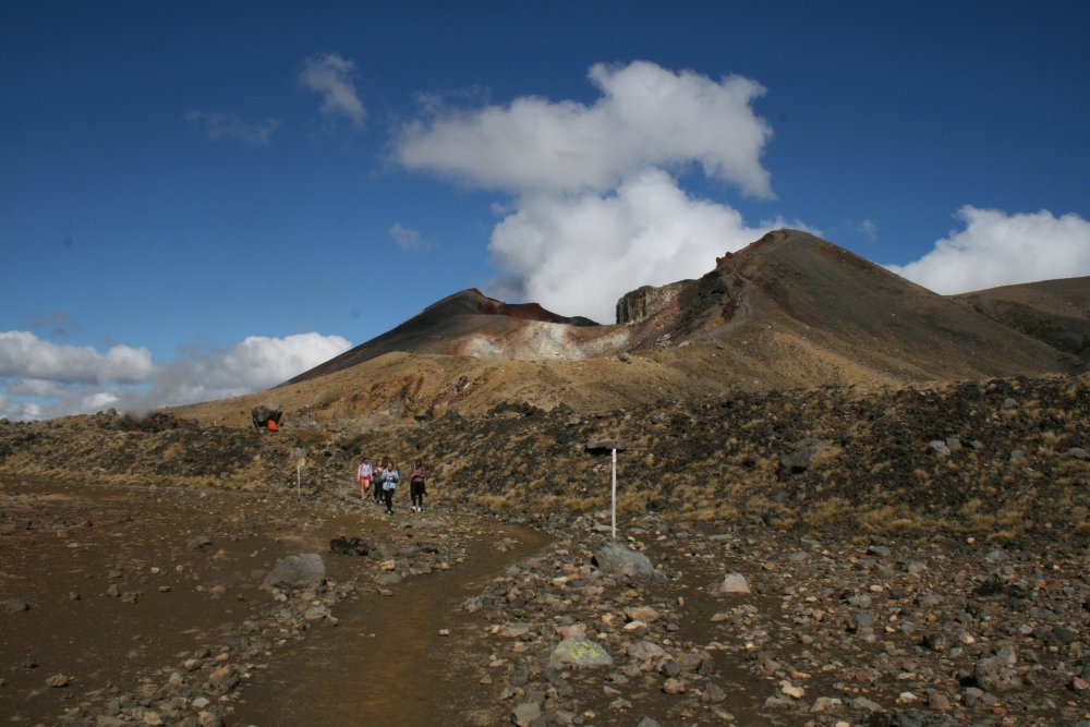
Coming down Tongariro.  The area to the right had been cleared by a lava flow awhile back.
   
Hey, if the Volcanic blows now, we're just going to accept it ...
   
Getting lower, making progress.
   
Suddenly, we were low enough to encounter vegtetation.
   
Soon we were on flat terrain walking through rainforest.
 
By this time, we were all pretty tired and wanted to be done with the hike.  But in the rain forest we couldn't see anything and had no idea how much longer it was to the trail end.  So we just kept plodding along.
   
Finally, we heard voices, and then there it was: the blessed trail end!  We had made it.
   
A map of the trail.
 
We waited a few minutes, then caught the 4PM shuttle back to our car.
   
Back at the Discovery Lodge which had its own restaurant where we ate dinner, then went to bed early, as you might guess.  What a day.


Previous
Home
Next